We collect raw AIS data every second, from more than 700 AIS satellites, terrestrial senders, as well as from dynamic AIS data sources. We map and process the AIS data, and combine the AIS data with other data sources.
You can find out where ships are coming from and where they are heading with estimated arrival times.

We map the data from the raw AIS data streams with other vessel data sources. We add our industry knowledge and we spend a lot of time in cleaning and unifying messy and complex data sets, and process the data, before we present it to you.
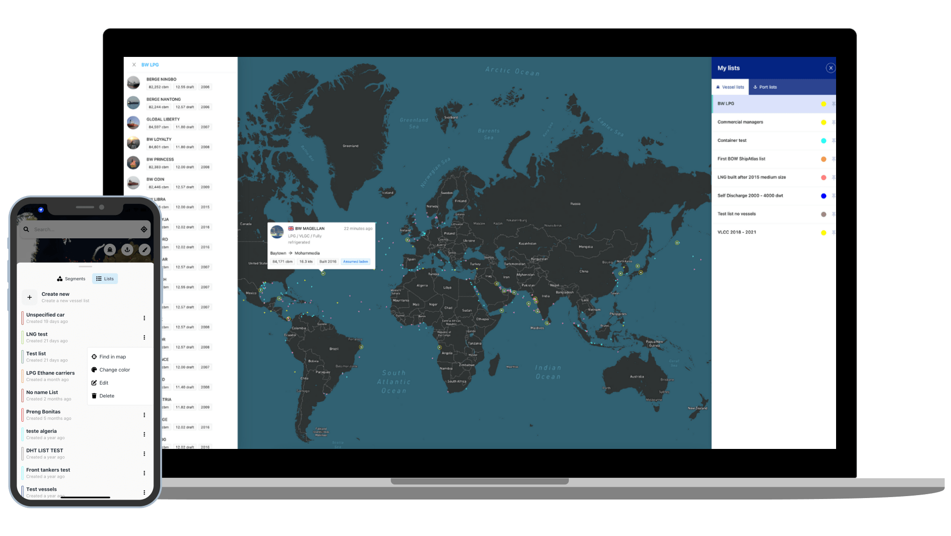
The vessels are divided into segments (tankers, dry cargo, LPG, LNG etc) and within each segment you will find sub-segments for example for dry cargo; handy size, supramax, panamax etc). You can search and find any vessel and create unlimited numbers of fleets lists of vessels and add the vessels as layers to your map so you know where they are.
We collect raw AIS data from more than 700 AIS satellites, terrestrial senders, and dynamic AIS sources. We clean and process the data. We publish updated positions every 10th minute.
You will find when we last saw the vessel, her present position, the speed, her heading, the last port she called, and to which destination she is heading. You will find her navigational status and estimated laden or ballast condition.
An AIS voyage history log is attached to each vessel so you quickly can view where any of the active vessels have been trading.
You can access the vessel's historical trading patterns; visualised in your map or listed in a table or visualised as a wheel showing where the vessel has been trading most often.
In the wheel mode, you can filter to see the historical trade for a specific period you are interested in, for example last 12 months or last 6 in 2021 etc.


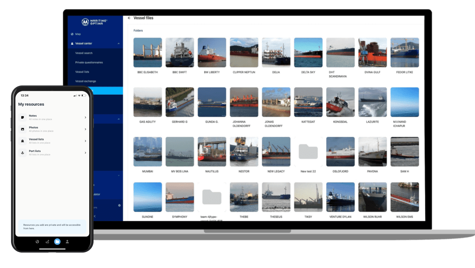
Shoot photos from your mobile directly attach to any vessel (or port). Easy to do and quick to find later. Create an album, name it "Hamburg December 2020" and shoot photos from your mobile directly attached to the vessel.
Add notes to any vessel (or port). A note might be "this vessel will be in Antwerp in December".
Look for the bell icon on the vessel card, and add notifications on the vessels you want to follow, and get push notifications on your mobile if a vessel arrives or departs from a port.


Search and find any vessel by name, MMSI or IMO. Combine your search by adding type (segment), year built, LOA, beam etc.
Save those vessels in different vessel list and view the vessels list as a layer in your map.
You can create unlimited numbers of lists for free. All data is synced between your devices, so if you add data on your mobile, it will automatically be synced to your laptop.
We are dedicated to developing ShipAtlas based on user feedback, so your feedback is highly welcomed.
We invest in having active and happy users, and we want to make it easy to reach us. So we are here to answer your questions, listen to your feedback and support you almost 24/7.
If you have ideas or wishes, want to propose improvements, or find bugs, please send us a chat so we can discuss.
